Remote Sensing in Urban Planning
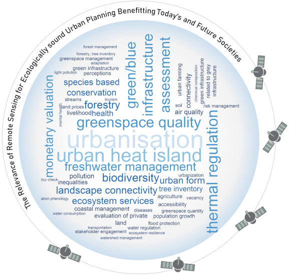
Remote sensing has evolved to become a key tool for various fields of environmental analysis, thus actively informing policy across areas and domains. To evaluate the degree to which remote sensing is contributing to the science of ecologically-oriented urban planning, we carried out a systematic literature review using the SCOPUS database, searching for articles integrating knowledge in urban planning, remote sensing and ecology. In the Web-App presented here you can scroll through our database spatailly as well as thematically.
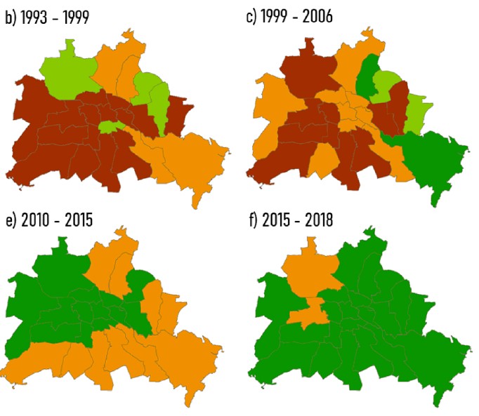
Green Growth in Berlin
Compact and dispersed city dynamics have long been understood as archetypical antagonists in urban planning. With this Earth observation data supported research, we want to contribute to a non-binary vision of urban (form) as we conclude that neither a compact urban form, nor a dispersed city leads to transparently deducible increases in environmental quality, measured here in terms of vegetation density. Rather, both areas have their unique configurations and processes that shape these configurations and thus they need to be addressed differently and evaluated with care. To find out how exactly this unfolded in Berlin over the past 30 years check our Web-App